
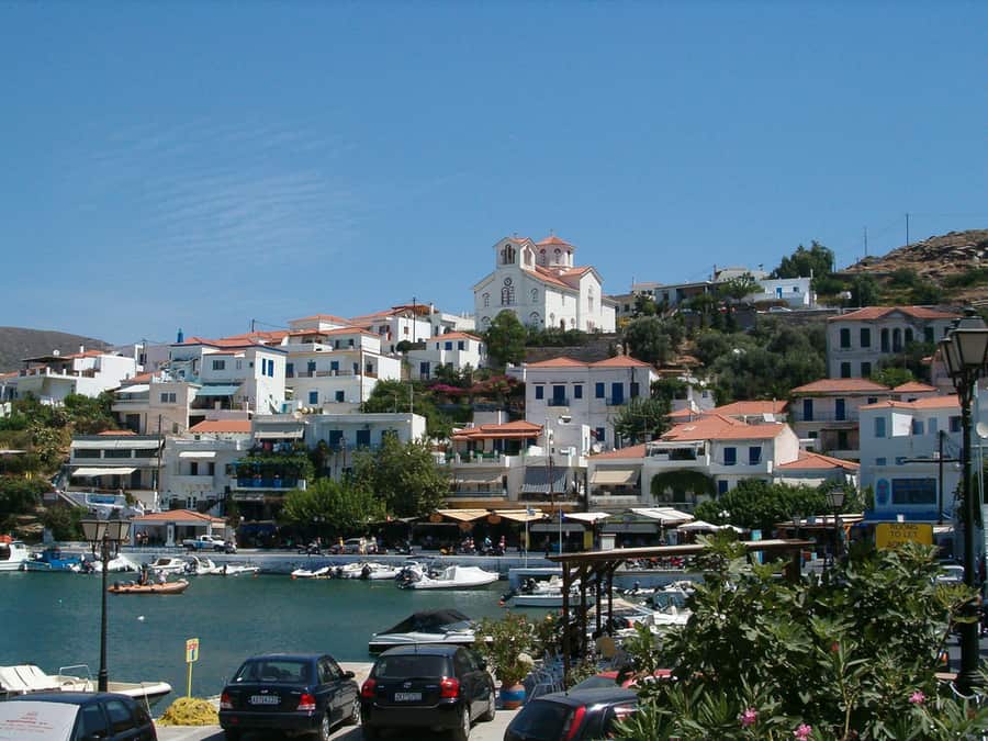
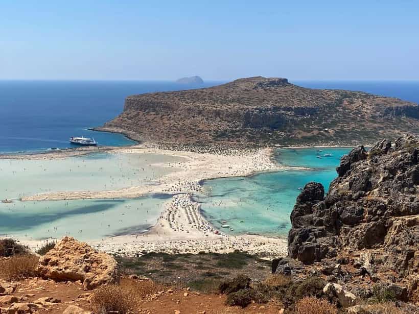
Achla is where a river valley meets the sea on the north-east coast, and the result is a sandy beach with a reed bed and a freshwater stream behind it — green, which on a Cycladic beach is startling. The track in is long and unsurfaced and the last stretch is steep; a low car will struggle. There is a lighthouse on the cape and nothing else. Many people walk in instead, on the footpath from Vourkoti.
Where to stay nearby
Live prices and availability on a map centred on this exact spot — hotels, studios and villas — so you can judge the distance to the beach, the port or the village from here rather than guess from an address.
Bookings made through this map earn us a commission. Your price is unaffected.
Partner links · GetYourGuide
Tours, boat trips & tickets
Boat trips, guided tours of the ancient sites and tickets bookable ahead — free cancellation on most.
- Apikia to the Pythara fallsAn afternoon's walk down to the waterfalls through the greenest valley in the Cyclades — the one everybody does first.See guided tours →
- The Andros RouteAround 300 kilometres of cleared, waymarked stone footpaths — the roads the villages used before there were roads, between dry-stone walls and watermills.See guided tours →
We may earn a commission from these. It never changes your price.
Frequently asked
Where is Achla?
Achla is in Achla, Andros, Greece. The map on this page shows the exact spot.
How do you get to Achla?
It is reached by a dirt road — fine for a careful driver in a normal car in dry weather, but check your rental terms, which often exclude unpaved roads.
Is Achla sandy or pebbly?
The beach is sand.
🏖️ Beaches