
🏝️ The Cyclades
Andros
Άνδρος
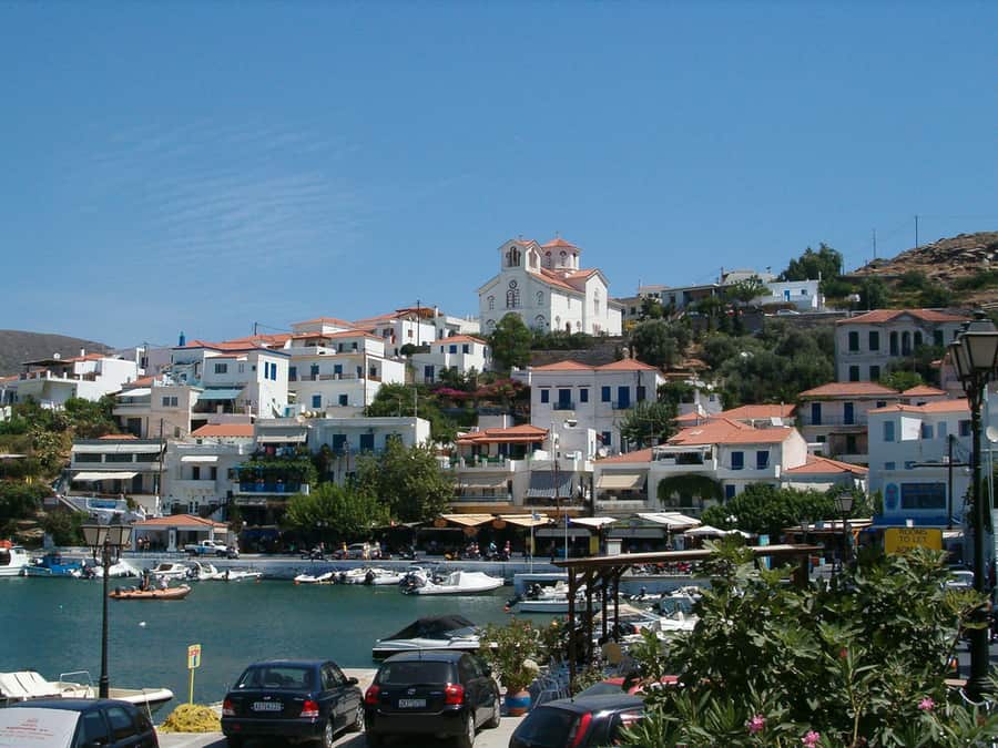
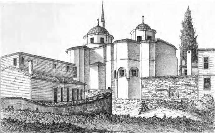
Andros is the green Cyclade: running water, stone footpaths across the whole island, shipowners' mansions in a town built on a spit of rock, and long empty beaches on a coast most people sail straight past on the way to Mykonos.
- Region
- The Cyclades
- Airport
- No airport — ferry only
- Ferry ports
- Gavrio
- Best for
- 🥾 Hiking🏖️ Beaches🌿 Peace & quiet🏛️ Culture🚗 Road trips
Where to stay
Which part of Andros to stay in
You choose twice: first the island, then the part of it. These areas are the real comparison — each with its own beaches, hotels and tavernas.
- Chora & the eastA single marble street running out along a rock spine, lined with shipowners' houses, with the island's museums, its springs and its wildest beaches around it.🏛️ 15 🏖️ 7 🍽️ 7 🛏️ 7
- Gavrio & BatsiThe port and the island's one small resort, three kilometres apart on the sheltered west coast, with every easy sandy beach on Andros between and around them.🏖️ 7 🍽️ 7 🛏️ 7
Α · 🏖️ 14 · Andros
Beaches
Β · 🏛️ 15 · Andros
Attractions
Γ · 🍽️ 14 · Andros
Restaurants & tavernas
Δ · 🛏️ 14 · Andros
Where to stay
🗺️ Andros
Everything we list, on the map
Where to stay in Andros
Live prices and availability on a map centred on this exact spot — hotels, studios and villas — so you can judge the distance to the beach, the port or the village from here rather than guess from an address.
Bookings made through this map earn us a commission. Your price is unaffected.
Partner links · GetYourGuide
Tours & boat trips
Boat trips, guided tours of the ancient sites and tickets bookable ahead — free cancellation on most.
- The Andros RouteAround 300 kilometres of cleared, waymarked stone footpaths — the roads the villages used before there were roads, between dry-stone walls and watermills.See guided tours →
- Apikia to the Pythara fallsAn afternoon's walk down to the waterfalls through the greenest valley in the Cyclades — the one everybody does first.See guided tours →
We may earn a commission from these. It never changes your price.
The guide
Andros: our guide
Contents · 5
The one with water
Andros is the second largest of the Cyclades and the least Cycladic of them. It has springs, streams, plane trees and terraced valleys that stay green into July, and the villages are built of slate and schist rather than whitewash. Two hours from Rafina, and the ferry carries on to Tinos and Mykonos with most of the passengers still on board.
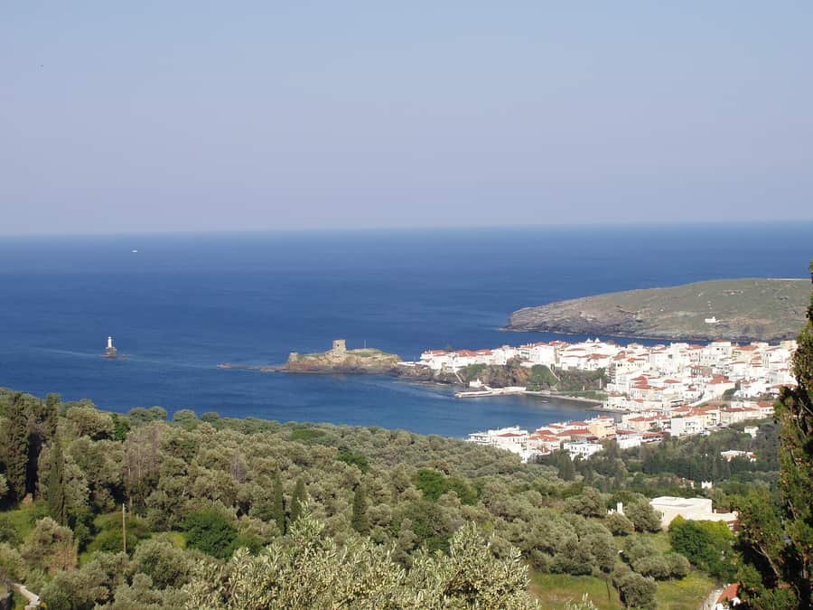
What it does not have is a beach-resort strip. There is one small resort, Batsi; there is the port, Gavrio; and there is Chora, the town, which is something else entirely — a single street of marble paving running out along a rock spine, lined with the houses of the shipping families who made Andros rich, and ending at a ruined Venetian castle joined to the shore by a stone bridge.
Walking is the reason to come
Around 300 kilometres of old stone footpaths have been cleared and waymarked across the island — the network signed as the Andros Route. These are not scenic loops invented for visitors; they are the roads the villages used before there were roads, running between dry-stone walls, past watermills and dovecotes, over arched bridges. You can walk from coast to coast in a few days or take an afternoon from Apikia down to the Pythara waterfalls, which is the walk everyone does first.
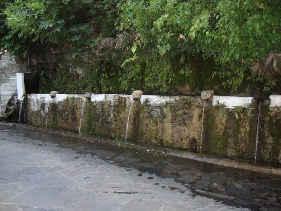
The other inland set pieces are the fountains of Menites, where the water comes out of lion heads under a plane tree, and Panachrantou Monastery, a white fortress of a building on a cliff ledge an hour's climb above Falika.
Museums you would not expect
Chora holds the Museum of Contemporary Art, founded by the Goulandris shipping family, with a permanent sculpture collection and a summer exhibition that regularly brings major names to an island of 9,000 people. Next door the Archaeological Museum keeps the Hermes of Andros. Out west, the ancient capital Palaiopoli tips down a hillside into the sea, and the Geometric settlement at Zagora sits on a headland behind an 110-metre wall.
Beaches
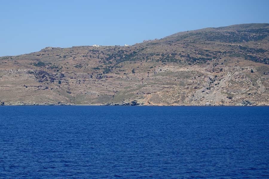
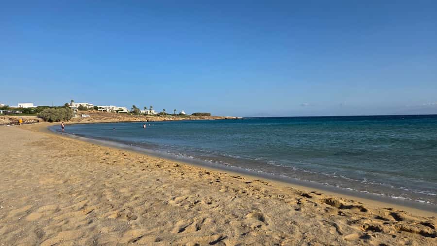
The sheltered west coast has the easy ones: Chrysi Ammos, Kypri and the town beach at Batsi, all sandy, all with sunbeds and tavernas. The north and east are wilder — Achla at the mouth of a river valley, Vitali and Zorkos down rough tracks, Ateni in its double bay. Several need a car with some clearance and all of them are exposed to the meltemi.
Getting there and when
Ferries run from Rafina to Gavrio in about two hours — Rafina is the closer port to Athens airport, roughly 30 minutes by KTEL bus. No airport on the island. May, June, September and early October are best: the paths are walkable, the water is warm by June, and in August the Athenians who own half the houses are all here at once. Winter is quiet and wet, which is why the island is green.
Frequently asked · Andros
How do you get to Andros — is there an airport?
Andros has no airport — you arrive by sea, and ferries dock at Gavrio. Timetables change from season to season, so check them when you book.
Who is Andros best for?
Among the islands we cover, Andros (The Cyclades) stands out for: hiking, beaches, peace & quiet, culture and road trips. If that is not you, compare the nearby islands further down.
What are the best beaches in Andros?
We list 14 beaches in Andros (10 of them sandy).
Where to stay in Andros?
We list 14 hotels, 3 right on the beach. The accommodation map on this page shows live prices and availability.
What is the nearest island to Andros?
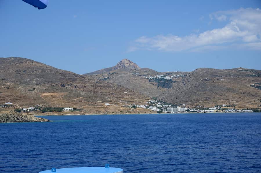
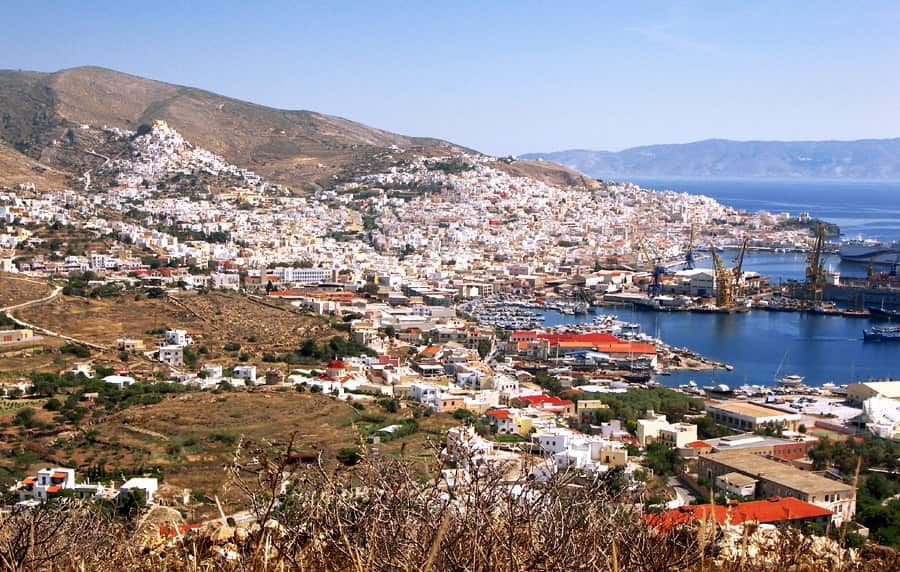
Of the ones we cover, Tinos, about 39 km away as the crow flies. By sea or road the distance is longer, and a direct connection does not always exist.
The Cyclades
Nearest islands
Measured as the crow flies from the centre of this one — a short distance on the map is not always a direct ferry, so check the routes before you plan a combination.
Before you go
Car hire from local firmsIsland rental companies rather than the international desks — usually cheaper, often with full insurance and no card deposit. On Crete, Kefalonia or Naxos a car is what gets you to the beaches the buses do not reach.Compare local cars →Scooter, ATV & bike hireThe classic island runabout for coves and hilltop villages. Wear the helmet, check what the insurance excludes, and be honest about gravel roads — they are where most rental accidents happen.Find a scooter →Car hire, budgetAn aggregator that tends to surface the lowest headline prices. Read the fuel, insurance and ferry clauses — many contracts do not allow the car on a boat.Compare prices →Car hire without a card depositUseful mainly for the deposit terms — the thing that catches people out at a rental desk with a debit card.Check terms →
We may earn a commission from these. It never changes your price.