🏝️ The Dodecanese
Karpathos
Κάρπαθος
Karpathos is the second largest of the Dodecanese and one of the least changed: a long rocky island with a mountain spine, beaches that take real effort to reach, world-class wind at the southern tip, and a northern village that kept its own dress and dialect.
- Region
- The Dodecanese
- Airport
- Karpathos (AOK)
- Ferry ports
- Pigadia · Diafani
- Best for
- 🏖️ Beaches🏄 Watersports🥾 Hiking🏛️ Culture🌿 Peace & quiet
Where to stay
Which part of Karpathos to stay in
You choose twice: first the island, then the part of it. These areas are the real comparison — each with its own beaches, hotels and tavernas.
- Pigadia & the southThe capital and port, the old hill villages around it, family sand at Arkasa and Finiki, and the windsurfing plain at Afiartis where the airport is.🏛️ 4 🏖️ 6 🍽️ 6 🛏️ 10
- Lefkos, Apella & the middleThe beaches on the posters — Apella, Kyra Panagia, Achata — on the east coast, and the sandy bays and small resort at Lefkos facing west.🏛️ 5 🏖️ 5 🍽️ 6 🛏️ 10
- Olympos & the wild northA village on a ridge at six hundred metres that kept its own dress and dialect, the small harbour below it, and the uninhabited island of Saria beyond.🏛️ 5 🏖️ 3 🍽️ 2 🛏️ 7
Α · 🏖️ 14 · Karpathos
Beaches
Β · 🏛️ 14 · Karpathos
Attractions
Γ · 🍽️ 14 · Karpathos
Restaurants & tavernas
Δ · 🛏️ 27 · Karpathos
Where to stay
🗺️ Karpathos
Everything we list, on the map
Where to stay in Karpathos
Live prices and availability on a map centred on this exact spot — hotels, studios and villas — so you can judge the distance to the beach, the port or the village from here rather than guess from an address.
Bookings made through this map earn us a commission. Your price is unaffected.
Partner links · GetYourGuide
Tours & boat trips
Boat trips, guided tours of the ancient sites and tickets bookable ahead — free cancellation on most.
- Olympos on its ridgeA village at 600 metres where older women still wear the village dress every day rather than for visitors, and the dialect keeps forms lost elsewhere.See guided tours →
- Apella and the north by boatApella is a bowl of pine and white rock reached by hairpins and steps; the boat to Diafani is the easy way to the north of the island.See boat trips →
- Wind at AfiartisThe southern plain funnels a reliable summer meltemi and has had windsurfing schools and international competitions for decades.See guided tours →
We may earn a commission from these. It never changes your price.
The guide
Karpathos: our guide
Contents · 5
Far from everywhere, and it shows
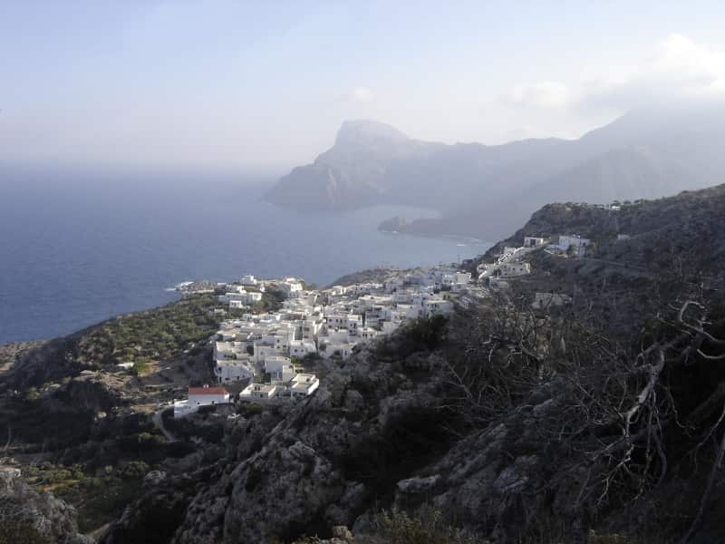
Karpathos lies about 47 kilometres south-west of Rhodes, halfway to Crete, in the open sea with nothing around it. That isolation is the whole character of the island: as Wikipedia puts it, Karpathos has preserved peculiarities of dress, customs and dialect that elsewhere went long ago. It is big — the highest point, Kali Limni, reaches 1,215 metres — and it has eleven villages and one road that matters, running the length of a mountain ridge with the sea on both sides.
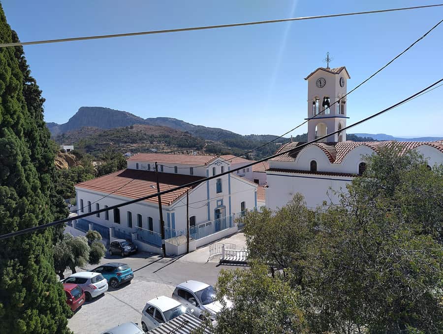
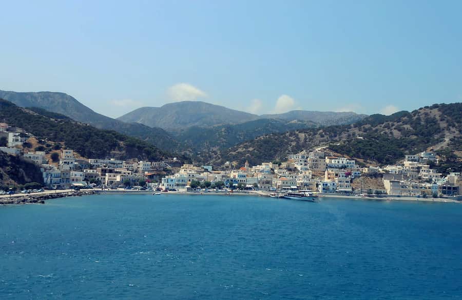
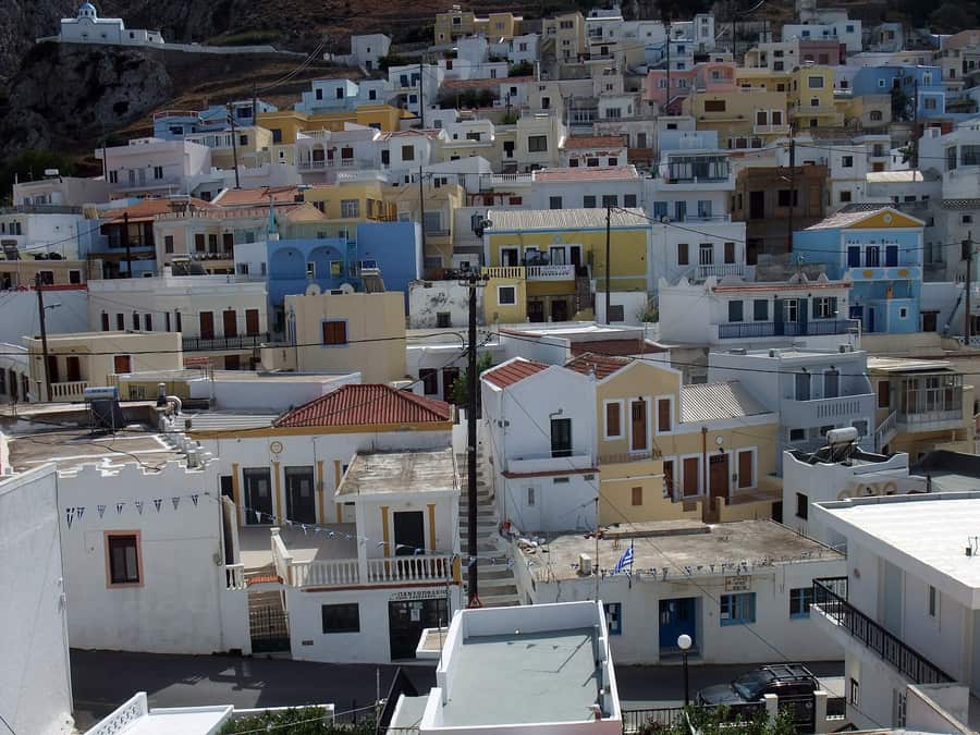
The capital and main port is Pigadia in the south-east. Around it sit the old hill villages — Menetes, Arkasa, Finiki, Pyles, Othos, Volada and Aperi, the former capital with a ruined castle above it. These villages were built inland and high up, out of sight of the sea, for the usual reason.
Olympos
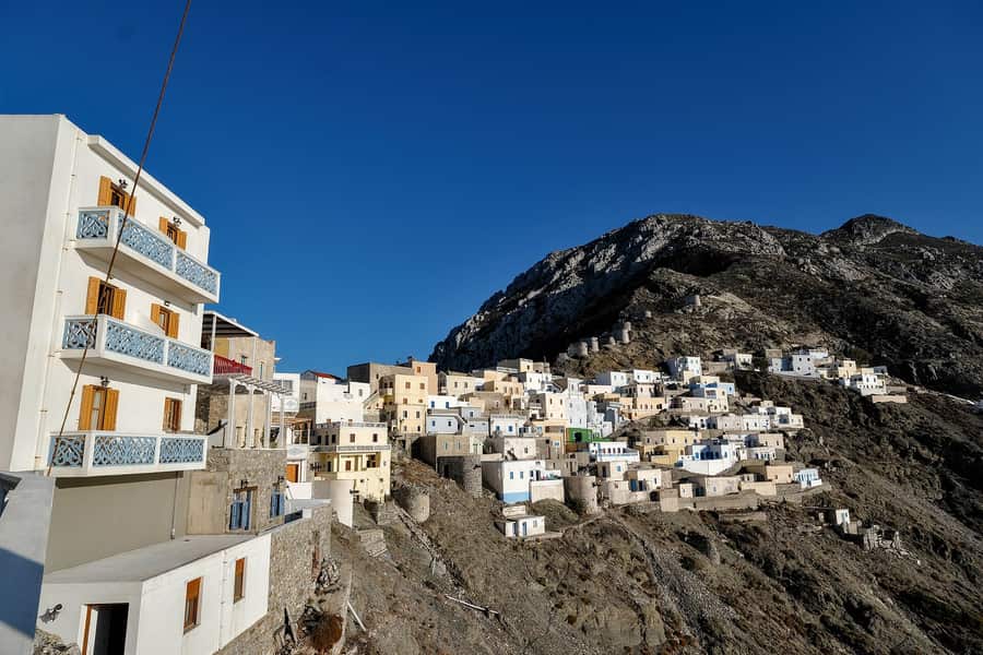
The north is a separate country. Olympos hangs along a ridge at about 600 metres with windmills on the skyline, reached either by a long mountain road or by boat to Diafani and then a bus. Older women still wear the village dress every day rather than for visitors, the dialect retains forms lost elsewhere in Greek, and the bakeries use communal wood ovens. Above it, Avlona is a farming hamlet of a handful of houses, and the cave sanctuary at Vrougounda on the coast below is one of the strangest places in the Dodecanese.
Beaches worth the drive
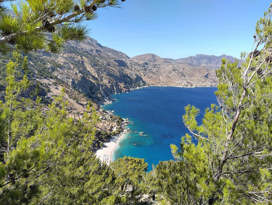
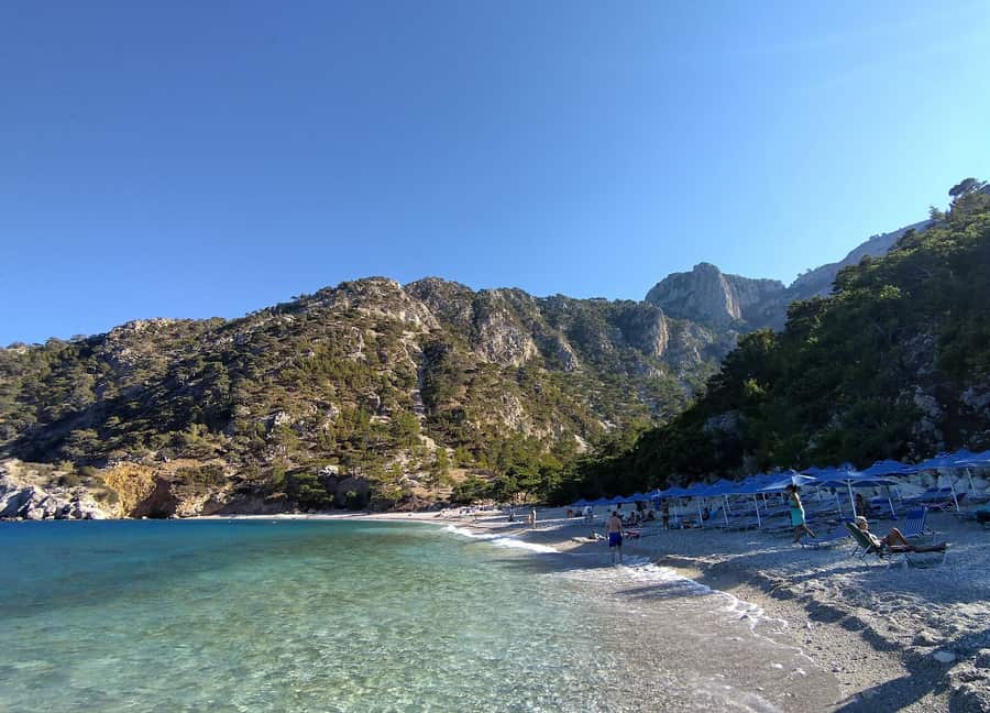
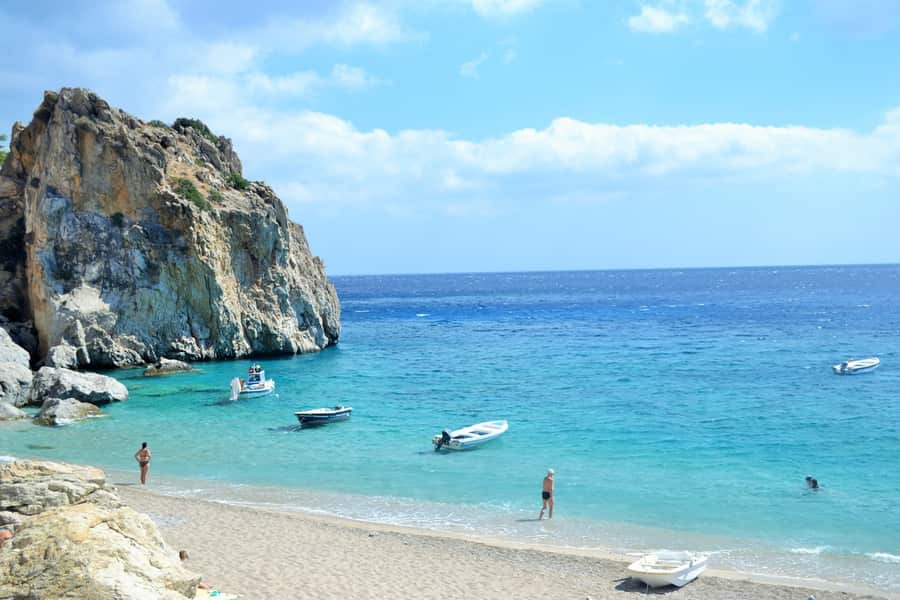
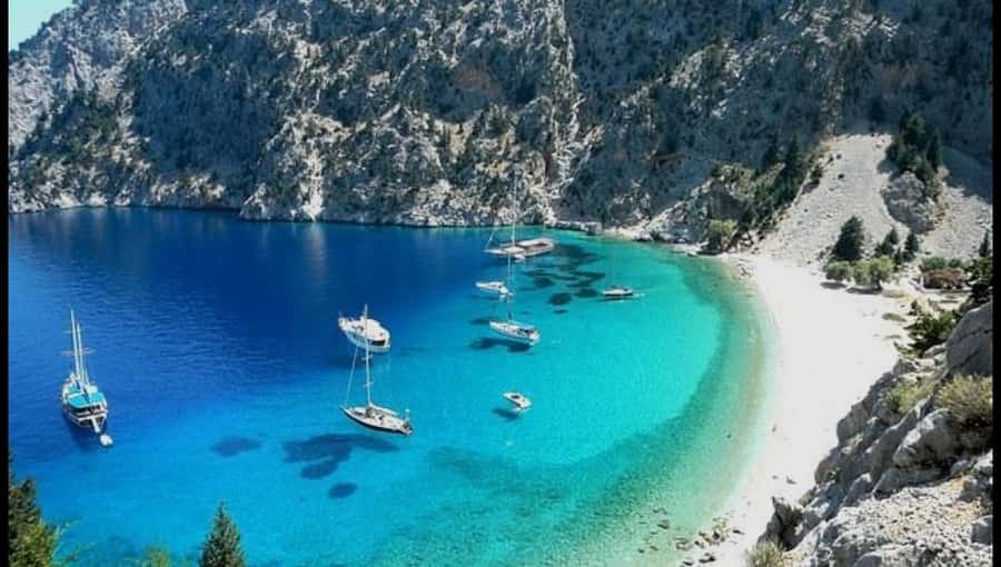
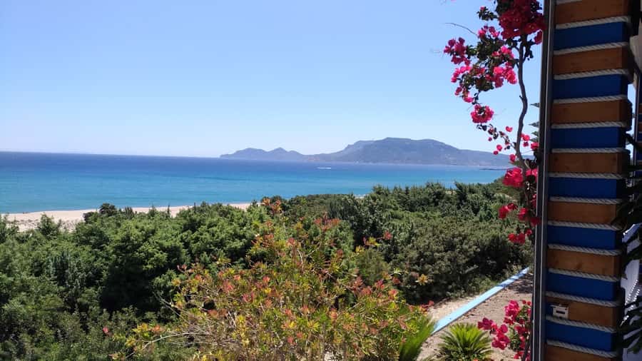
Apella is the one on the posters — a steep bowl of pine and white rock with turquoise water, reached by a hairpin road and then steps. Kyra Panagia, with its red-domed church, and Achata are its neighbours on the same east coast. Lefkos in the west is a series of sandy bays with a small resort; Agios Nikolaos at Arkasa and Finiki are the family choices; Diakoftis in the far south is white sand over pale sand-bottom water, as close to the Caribbean as Greece gets.
Wind
The southern plain at Afiartis gets a reliable, strong summer meltemi funnelled down the island, and it has been a serious windsurfing and kitesurfing destination for decades, with schools and international competitions at Makrygialos and the bays beside it. If you do not sail, the same wind is the reason the east coast can be rough in July and August — plan around it.
Getting there and when to go
The airport sits on the southern plain and takes domestic flights from Athens and Rhodes; ferries run from Piraeus via Crete and Rhodes, which is a long crossing. See ferries and airports. Hire a car: the island is too long and too steep to see otherwise, and the buses are few. June and September are the best compromise between warm sea and manageable wind. Much of the north closes from November to April.
Frequently asked · Karpathos
Does Karpathos have an airport?
Yes — Karpathos (AOK). By sea, ferries dock at Pigadia and Diafani.
Who is Karpathos best for?
Among the islands we cover, Karpathos (The Dodecanese) stands out for: beaches, watersports, hiking, culture and peace & quiet. If that is not you, compare the nearby islands further down.
What are the best beaches in Karpathos?
We list 14 beaches in Karpathos (6 of them sandy).
Where to stay in Karpathos?
We list 27 hotels, 1 right on the beach. The accommodation map on this page shows live prices and availability.
What is the nearest island to Karpathos?
Of the ones we cover, Rhodes, about 96 km away as the crow flies. By sea or road the distance is longer, and a direct connection does not always exist.
The Dodecanese
Nearest islands
Measured as the crow flies from the centre of this one — a short distance on the map is not always a direct ferry, so check the routes before you plan a combination.
Before you go
Car hire from local firmsIsland rental companies rather than the international desks — usually cheaper, often with full insurance and no card deposit. On Crete, Kefalonia or Naxos a car is what gets you to the beaches the buses do not reach.Compare local cars →Scooter, ATV & bike hireThe classic island runabout for coves and hilltop villages. Wear the helmet, check what the insurance excludes, and be honest about gravel roads — they are where most rental accidents happen.Find a scooter →Car hire, budgetAn aggregator that tends to surface the lowest headline prices. Read the fuel, insurance and ferry clauses — many contracts do not allow the car on a boat.Compare prices →Car hire without a card depositUseful mainly for the deposit terms — the thing that catches people out at a rental desk with a debit card.Check terms →
We may earn a commission from these. It never changes your price.